

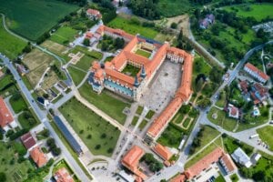


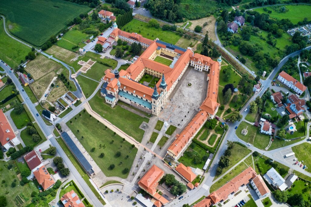
Digitalization is advancing in all areas, and the public sector is no exception. One exciting development is the use of outdoor-ready tablets to map properties and buildings. This technology enables an improvement in the way data can be collected, processed and used.
How tablets improve mapping processes
Digital mapping processes have many advantages. Thanks to GPS technologies, properties and buildings can be mapped with a high degree of accuracy. The data can be integrated directly onto digital maps and is immediately available for processing. The data is synchronized with central databases in real time. This eliminates time-consuming post-processing and information is immediately accessible to other departments. In addition to mapping, the devices can also be used for other tasks. For example, damage can be documented, reports created and photos and videos taken.
Why outdoor tablets?
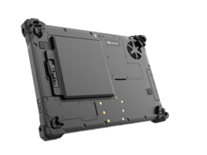
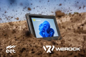
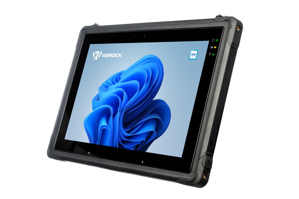
Working outdoors poses special challenges for the devices used – challenges that classic consumer tablets are not up to. Rain, dust and extreme temperatures can quickly push conventional electronics to their limits. Robust tablets are specially designed for these conditions. They have hard-wearing housings with waterproof and dustproof seals in accordance with the IP standard. They are often protected against drops in accordance with military standards. In addition, many models are equipped with special displays that remain easy to read even in direct sunlight. These features make them ideal for use in mobile environments and under demanding conditions.
Advantages for the public sector
The use of robust tablets offers numerous advantages for the public sector, especially for property and building mapping. A key benefit is the aforementioned significant increase in efficiency achieved through the ability to synchronize data in real time. Employees can immediately transfer information recorded on site to central systems, which shortens processing times and reduces errors caused by manual transfers. Another technical advantage is the integration of GPS modules in the tablets. These enable precise positioning and therefore accurate mapping of property boundaries and buildings. The high accuracy of the recorded data is crucial for planning, administration and documentation in the public sector.
In addition, the sustainability of digital mapping is playing an increasingly important role. Dispensing with paper-based documentation not only reduces the consumption of resources such as paper and printing materials, but also contributes to the more efficient use of working time and energy. Switching to digital processes significantly reduces the environmental footprint of the public sector.
Overall, outdoor tablets help the public sector to work more efficiently, accurately and in a more environmentally friendly way, which brings both economic and environmental benefits in the long term.
Advanced technology – drone guidance
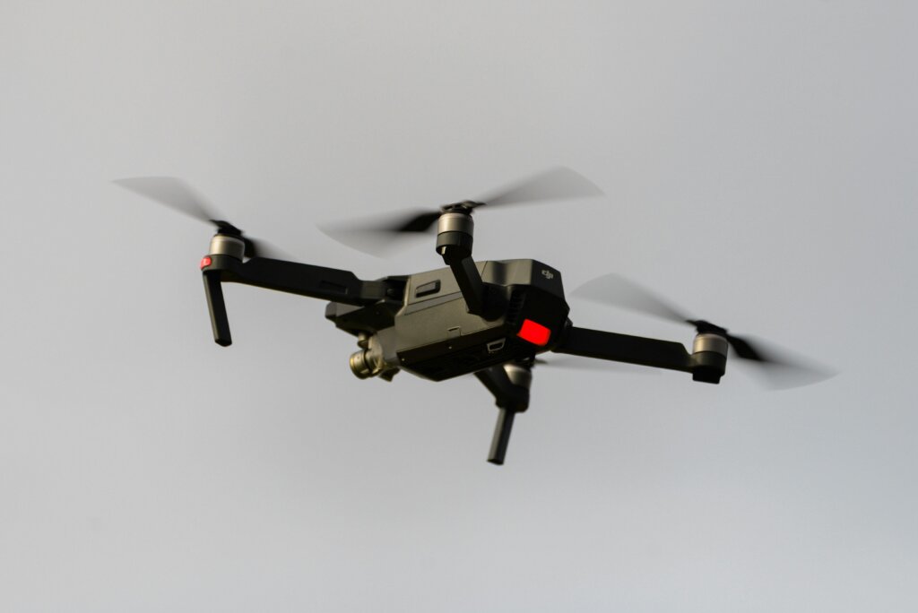
Robust tablets also enable the use of advanced technology such as drones, which can be controlled and managed with them. They allow aerial images, 3D models and topographical data to be captured quickly and accurately, even in areas that are difficult to access. In combination with tablets, the drone data can be processed, analyzed and compared with GPS measurements directly on site. This speeds up the creation of maps and reports considerably. Especially in areas such as urban planning, environmental protection and crisis management, drones offer an efficient and safe way of mapping large areas and gaining detailed insights.
Conclusion
The use of outdoor tablets for mapping properties and houses is a significant step towards more efficient and sustainable management. This digitalization offers many advantages. For example, data can be recorded much more easily and synchronized with management systems in real time. More advanced technology, such as drone control, can also be easily controlled and managed using the tablet.
Take your work to the next level with a step towards digitalization!
Find out more about our tablets here
For more information, please contact us for a free, no-obligation consultation.